Book Your Stay at The Decca
Geography Report: The Isle of Lewis

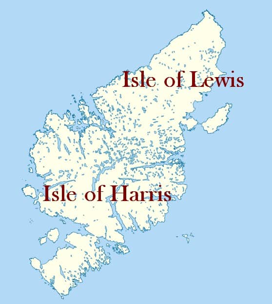
The Isle of Lewis, is the largest island in the Outer Hebrides archipelago in Scotland. It is located off the northwest coast of the mainland and is known for its stunning landscapes, rich history, and unique culture. This report provides an overview of the geography of the Isle of Lewis, including its physical features, climate, and notable locations.
Physical Features: The Isle of Lewis covers an area of approximately 683 square miles (1,770 square kilometers). It is mostly flat and characterised by a diverse range of landscapes. The island is primarily composed of Lewisian gneiss, one of the oldest rock formations in Europe, which gives it a rugged and dramatic appearance.
The coastline of Lewis is highly indented and features numerous sea lochs, such as Loch Roag and Loch Erisort, which provide natural harbours. The eastern coast of the island is relatively smooth and features sandy beaches, while the western coast is more rugged and marked by steep cliffs.
Inland, the landscape is dominated by peat bogs and moorlands, interspersed with numerous freshwater lochs. The island’s highest point is the summit of Clisham, which reaches an elevation of 799 meters (2,621 feet). Other notable hills and mountains include Mealaisbhal (574 meters) and Beinn Mhòr (574 meters).
Climate: The Isle of Lewis experiences a maritime climate, heavily influenced by the surrounding Atlantic Ocean. The weather can be changeable, with rainfall occurring throughout the year. The island is known for its strong winds, and gales are not uncommon, particularly during the winter months.
Summer temperatures on Lewis are generally mild, with average highs ranging from 14 to 17 degrees Celsius (57 to 63 degrees Fahrenheit). Winters are relatively cool, with average highs between 5 and 8 degrees Celsius (41 and 46 degrees Fahrenheit). Snowfall is infrequent but can occur during the colder months.
Notable Locations:
- Stornoway: Stornoway is the largest town and administrative center of the Isle of Lewis. It is located on the east coast of the island and serves as the main hub for transportation and services.
- Callanish Standing Stones: Located near the village of Callanish, the Callanish Standing Stones are an important archaeological site. These ancient stones date back to the Neolithic period and are arranged in a cross-shaped pattern.
- Dun Carloway Broch: Dun Carloway Broch is a well-preserved Iron Age structure located on the west coast of Lewis. It is one of the best-preserved brochs (circular stone towers) in Scotland and provides insights into the island’s ancient history.
- Gearrannan Blackhouse Village: This restored village near Carloway offers a glimpse into traditional island life. The blackhouses, traditional thatched-roofed dwellings, showcase the island’s historical architecture and way of life.
- Bosta Beach: Situated on the west coast of Lewis, Bosta Beach is renowned for its beautiful white sands and clear turquoise waters. It is a popular destination for outdoor activities and relaxation.
The Isle of Lewis is a captivating island with diverse and stunning geography. From its rugged coastlines and ancient standing stones to its traditional villages and beautiful beaches, the island offers a wealth of natural and cultural attractions. Whether exploring its historical sites or immersing oneself in its breathtaking landscapes, the Isle of Lewis provides a memorable experience for visitors and residents alike.